Unlocking a New Level of Airspace Awareness

The Vantis Federal Radar Data Enclave represents a major step forward in how UAS operate safely and at scale. Developed by Northern Plains UAS Test Site in collaboration with the Federal Aviation Administration, the enclave enables secure access to federal radar data, bringing a level of airspace visibility previously reserved for traditional aviation and national defense operations.

This capability transforms Vantis into one of the most advanced UAS ecosystems in the nation, enabling drone operators to fly with greater confidence, situational awareness, and operational reach.

Model.Image.AltText
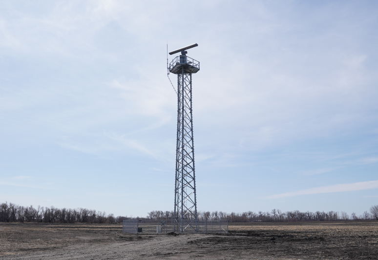
A tall radar in a barren field

Fusing Federal and Local Surveillance Data

The enclave integrates FAA radar feeds with Vantis' existing network of ground-based sensors and surveillance systems. This creates a unified, real-time picture of the airspace, combining cooperative and non-cooperative aircraft tracking across large geographic areas.

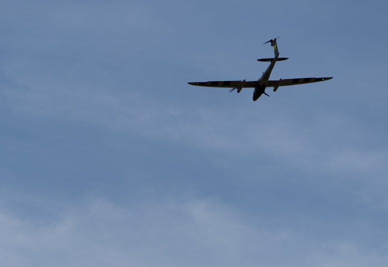
An unmanned vehicle in flight

Expands BVLOS Operations at Scale

By dramatically increasing airspace awareness, the enclave supports safe beyond-visual-line-of-sight (BVLOS) operations across tens of thousands of square miles. Operators are no longer limited to small test corridors or isolated environments. Instead, they can conduct missions that more closely resemble real-world operations, including long-distance logistics, infrastructure inspection, and public safety response.

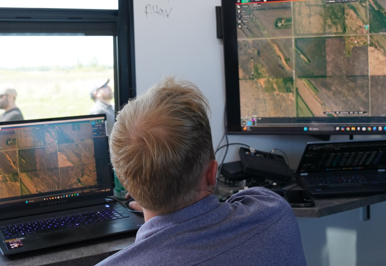
A man viewing an aerial photograph on a computer

Enhances Detect-and-Avoid Capabilities

Access to federal radar data strengthens detect-and-avoid systems by providing a more complete view of surrounding traffic. This is critical for integrating UAS into the National Airspace System (NAS), where drones must safely coexist with crewed aircraft. The enclave enables more reliable separation, risk mitigation, and decision-making during flight.

Built for Security and Trust

Because federal radar data is highly sensitive, the enclave operates within a secure, controlled environment designed to meet stringent federal cybersecurity and data handling requirements. As a government entity, the NPUASTS is uniquely positioned to manage and protect this data. This reflects a trusted partnership model, ensuring that sensitive information is handled appropriately while still enabling innovation and operational advancement for approved users.

Enabling Real-World UAS Applications

Public Safety and Emergency Response

Drones can respond faster and operate farther, supporting missions like disaster response, search and rescue, and infrastructure assessment.

Advanced Logistics and Supply Chain

Long-range drone operations can support medical delivery, critical infrastructure supply chains and logistics.

Defense and National Security

Providing a secure, realistic testing environment where advanced systems can be evaluated in complex airspace conditions without the constraints of traditional military ranges.

Partner With Us

Learn more about the Vantis Federal Radar Data Enclave and how this secure data advances operations.

Talk to Experts